VRA Embarks On ESIA For Pwalugu Multi-Purpose Dam Project

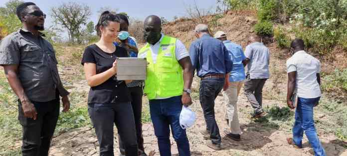
The Volta River Authority ( VRA ) Working in partnership with Tractable Consultants/SRC Ghana, Environmental Protection Authority (EPA), Forestry Commission of Ghana and the Regional Coordinating Council for both Upper East and North East Regions are currently embarking on the Environmental Social Impact Assessment (ESIA) as part of the full implementation of the Pwalugu Multi-Purpose Dam Project.
The purpose is to assess both environmental and social impact of the construction of the Pwalugu Multi-Purpose Dam on both lives and properties in the project affected areas (PAA).
- Advertisement -
Read More:
- Advertisement -
The Pwalugu Multi-Purpose Dam is located on the White Volta River between the completed Bagre Dam in Burkina Faso upstream and the Akosombo and Kpong Dams in Ghana downstream. It is approximately 30km Southwest of Bolgatanga, across the Upper East Region and the North-East Region.
Administratively, the Pwalugu Multi-Purpose Dam Project located at the:
●Upper East Region (Bawku West, Garu Tempane, Talensi, and Binduri Districts)
● North East Region ( Bunkprugu, East Mamprusi and West Mamprusi).
- Advertisement -
Speaking with the Media in Bolgatanga, the Snr. Government and Public Relations Officer of VRA for the Pwalugu Multi-Purpose Dam Project Mr David Prah mentioned that the key objectives of PMD are to;
● develop the Irrigation potential of the White Volta Plains;
● mitigate flood downstream of the dam;
●generate power to be injected on the Northern end of the national grid and;
●develop other economic activities in the reservoir, such as fishery.

According to Mr David Prah the Pwalugu Multi-Purpose Project is:
● a composite dam RCC Dam + Rockfill dam on the left bank + an earth dam on the right bank with crest elevation set at 168 m asl;
● a Hydro-Power Plant located at the toe of the dam on the left bank with an installed capacity of 59.6 MW supplying an average 176 GWh/year of which 100GWh will be delivered with 95% reliability every year;
● an Irrigation weir located 50 km downstream of the main dam with cressy elevation set at 133 masl;
● a 161-kV power transmission line 15km long from the switchyard to the existing Tamale-Bolgatanga;
● an operator’s village
● a 24,841 ha Irrigation Development Area on the left bank of the White Volta;
● a Solar Plant with an installed capacity of 50 MW.
The Pwalugu Multi-Purpose Hydroelectric Dam and Irrigation Project when completed is going to be the Game Changer in the Upper Regions of Ghana and the entire country.
Source: Ghdispatch.com
- Advertisement -


